SECTION A – PROPERTY IDENTIFICATION
Unchecked Development and Environmental Damage, Pitcher Street Montgomery MA. 01085
2007 - 2008,
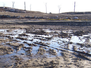
Photo 001
- 7 Lot's are roughly 6 acres each.
- All are Clear - Cut.
- Cutting of all timber was 2 years before we arrived.

Unchecked Development and Environmental Damage, Pitcher Street Montgomery MA. 01085
Photo 002
- 2009, Purchase of Lot-2 by Derrick Hale.
- With just Down Payment given, Natural Heritage moves in, places us under a cease and desist and wants to know our intentions in a written map.
- Developer refuses to return my deposit money.

More
Unchecked Development and Environmental Damage
Photo 003
- Lot's 1 - 3 from Assessors Map
- Homes approved on Lot-s 1 and 3
- Wetland visible, filled in and moved.
- Lot-1 Home is built in 2018
- Lot-3 Home is built in 2010

Unchecked Development and Environmental Damage
Photo 004
- Developer digs foundation for his home on Lot-3 on our property, Lot-2 because Lot 3 was all mud, a Wetland.
- After finding Septic Perc Test on our property, I ordered him to leave our property.
- Even after a dry summer, the ground is all mud.

Unchecked Development and Environmental Damage
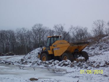
Photo 005
- Winter's moving in and they raise the ground 4 feet with loam scrapped from our Lot 2.
- A new pond is built, the Developer is moving fast.
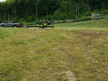
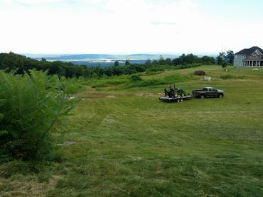
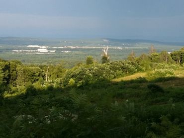
Top pictures from Lot-3, bottom row is our Lot-2. The view is of Springfield MA and the Connecticut River Valley.